Stearns County Ditch 39 (CD39)
Stearns County Ditch 39 (CD39) was established in 1917. The ditch is approximately 3.6 miles in length and contains roughly 826 benefited acres.
CD39 is not considered public waters.
Overview Map of CD39
Links
Click on the links to review the various ditch reports and maps.
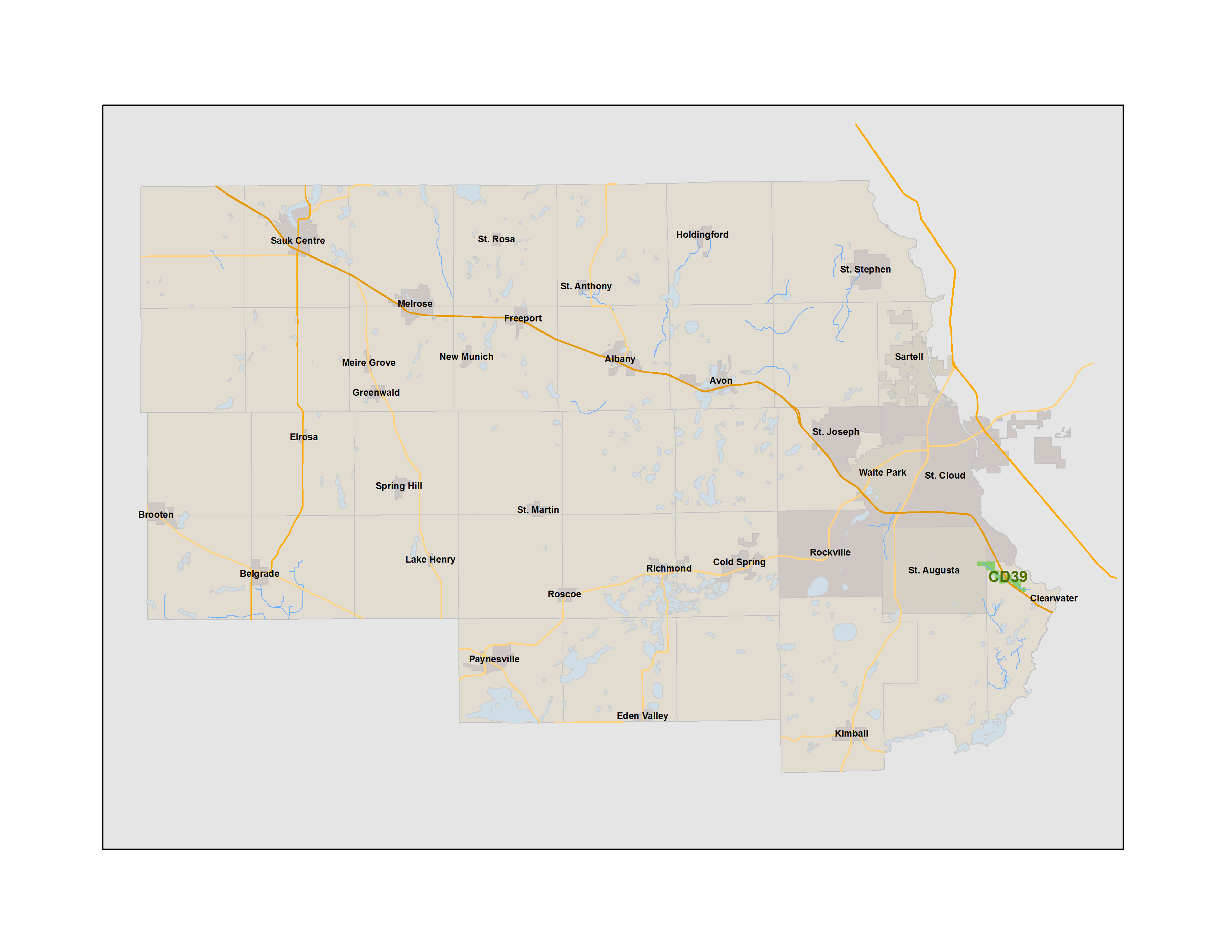
CD39 Overview Map
This map shows the location of CD39 within Stearns County
CD39 Drainage System Map
This map shows the ditch channel location as well as the legal benefit of the CD39 drainage system, which is shown in green. In 1917, all property shown in green was determined to benefit from CD39.
Ditch Inspection Report
Ditch inspection report adopted by Stearns County Board of Commissions acting as the Drainage Authority on September 19, 2017.
Ditch Repair Plan
The ditch repair plan approved by the Stearns County Board of Commissioners, acting as Drainage Authority on January 23.
Estimated Assessment
The preliminary budget for a repair to CD39 is $20,000. This number is an estimate and is subject to change based on bidding project to vendors, public input and Board of Commissioners input. If the project changes, the cost will change. The Board of Commissioners approved the repair of a portion of the ditch on January 23. This link will bring up a PDF in a new window showing the estimated assessment per parcel.
Flight from October 16, 2018. This is resulting video of the flight. (No audio)